|
|
The expedition to the Bureya landslide, 17-21 June 2019
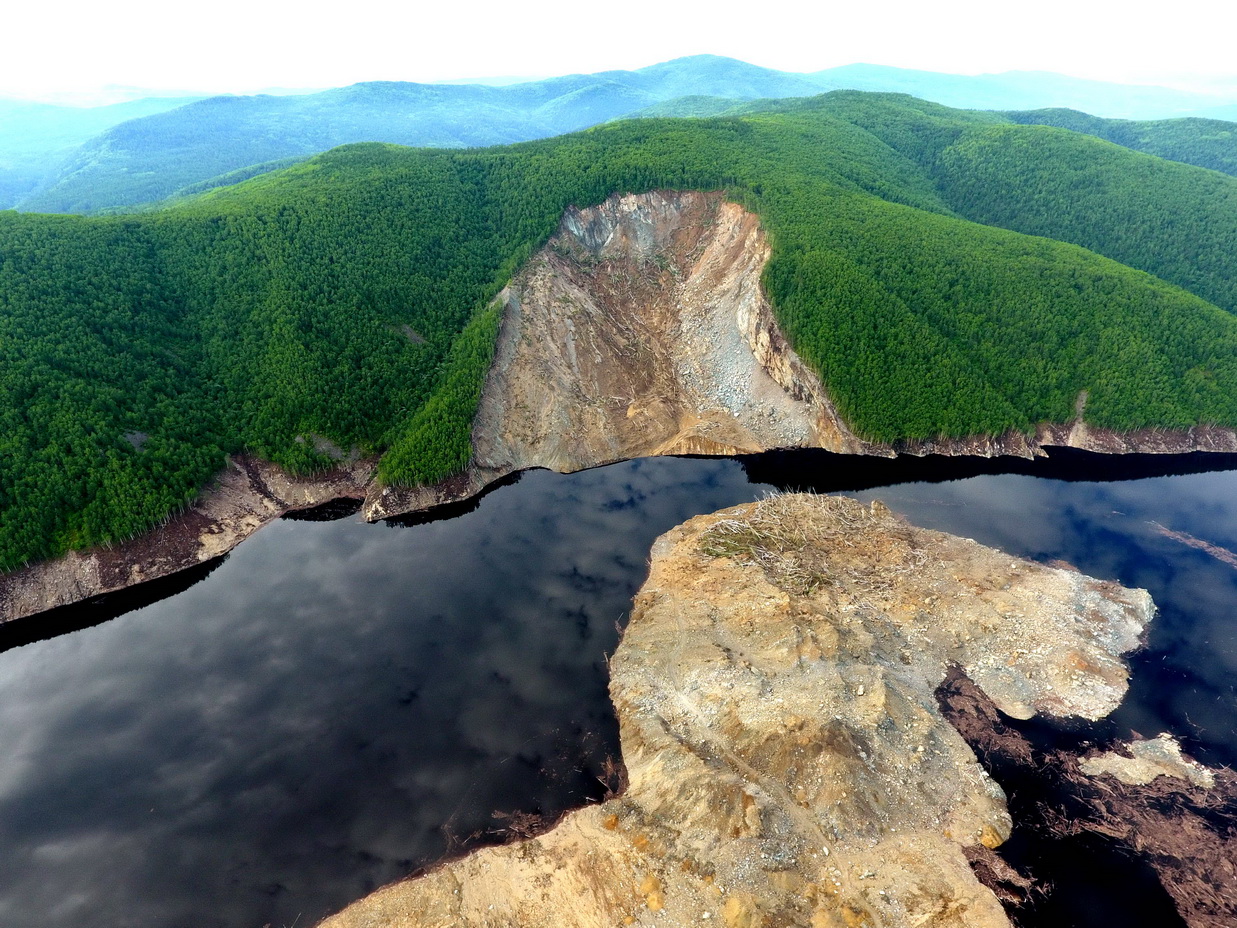
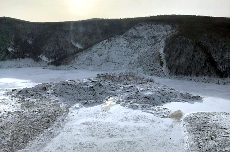
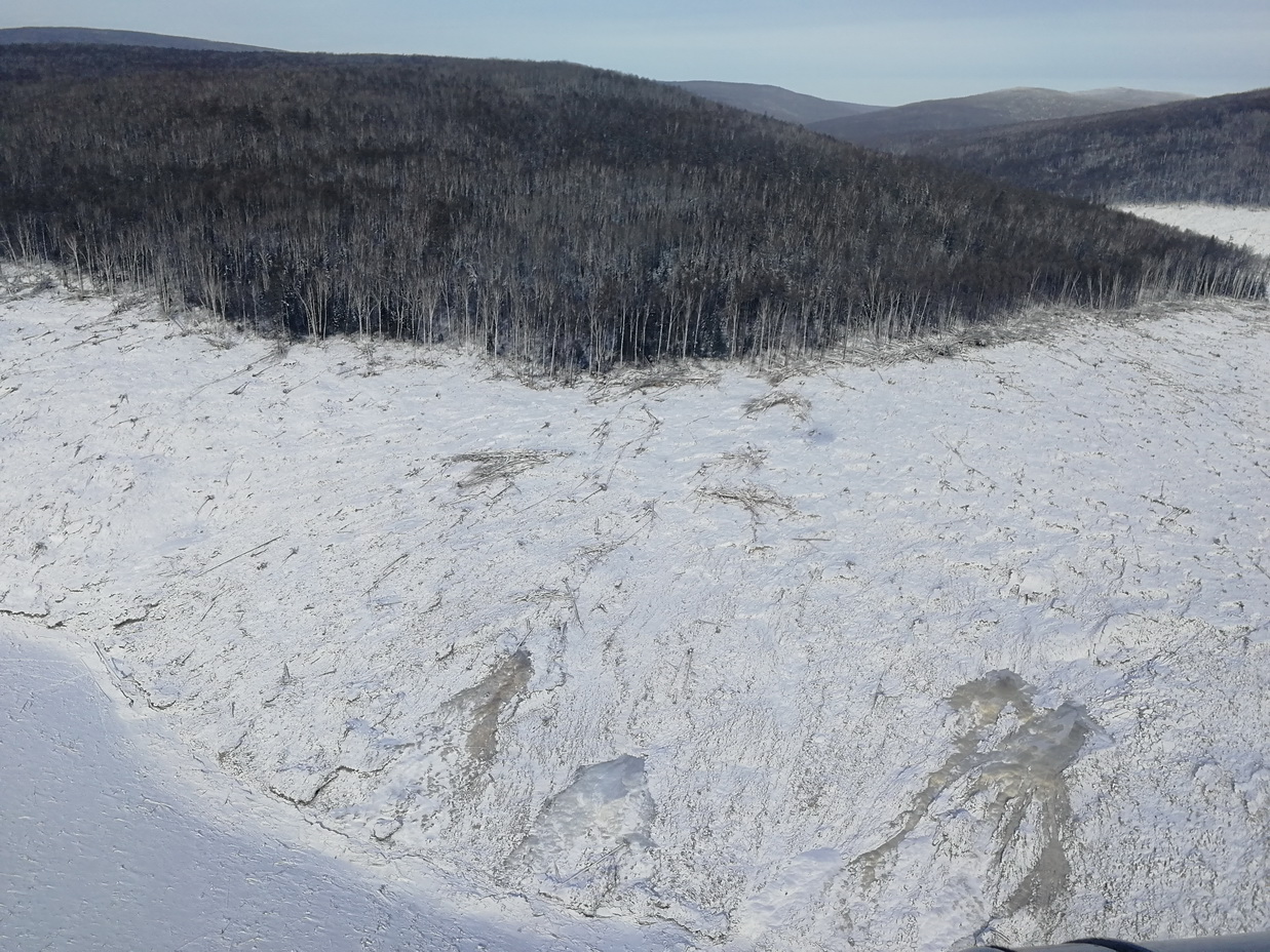
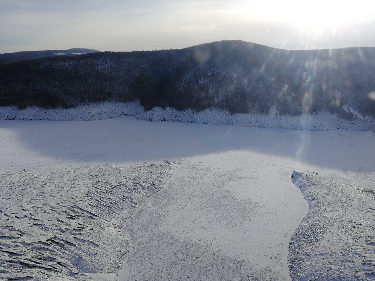
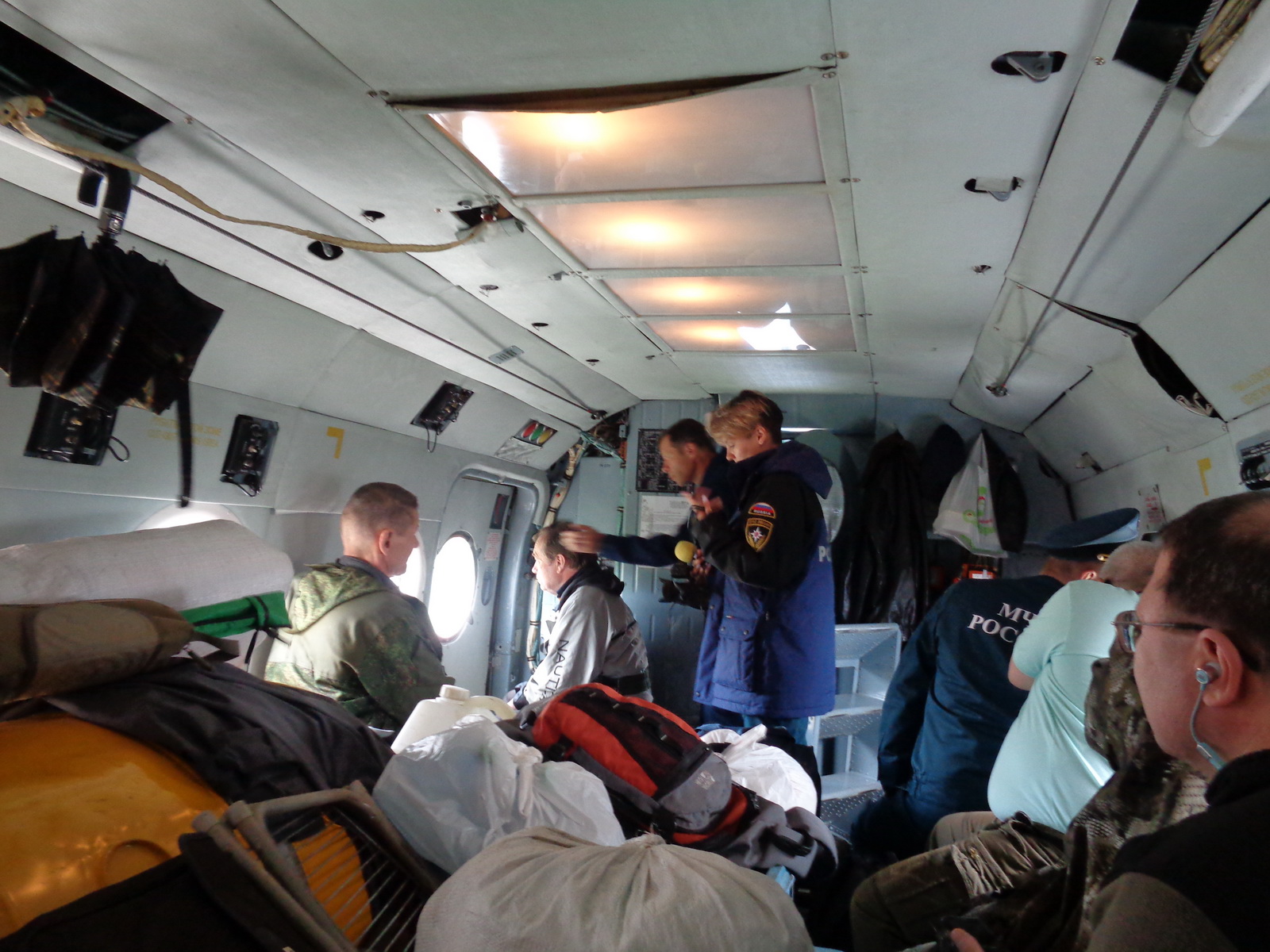
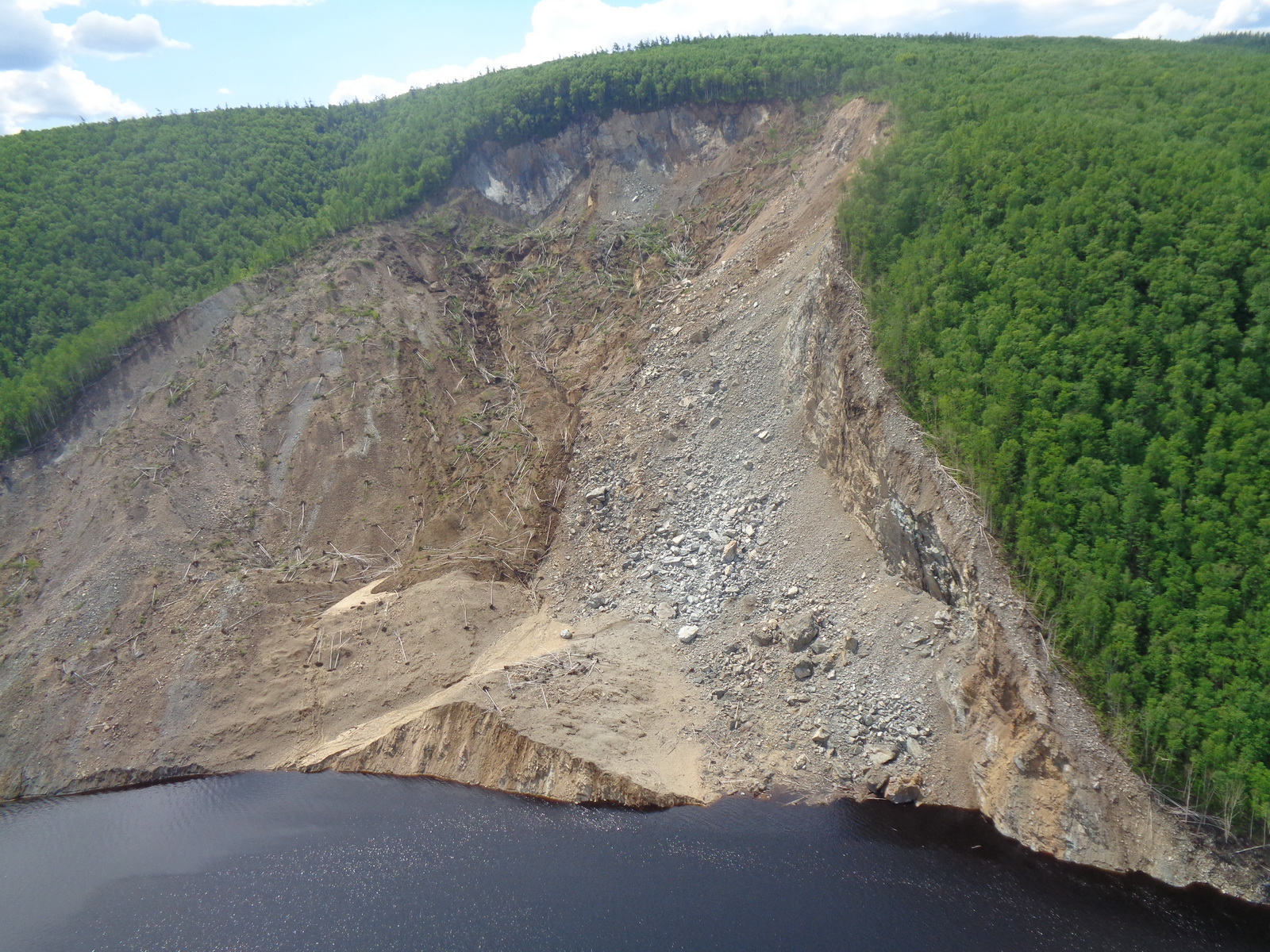
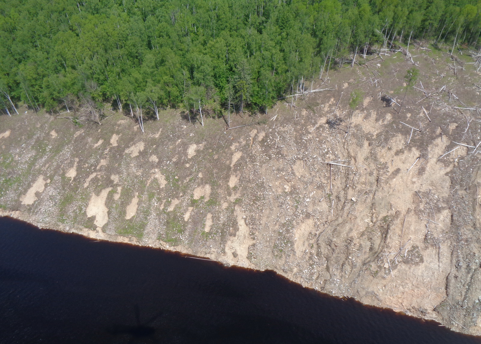
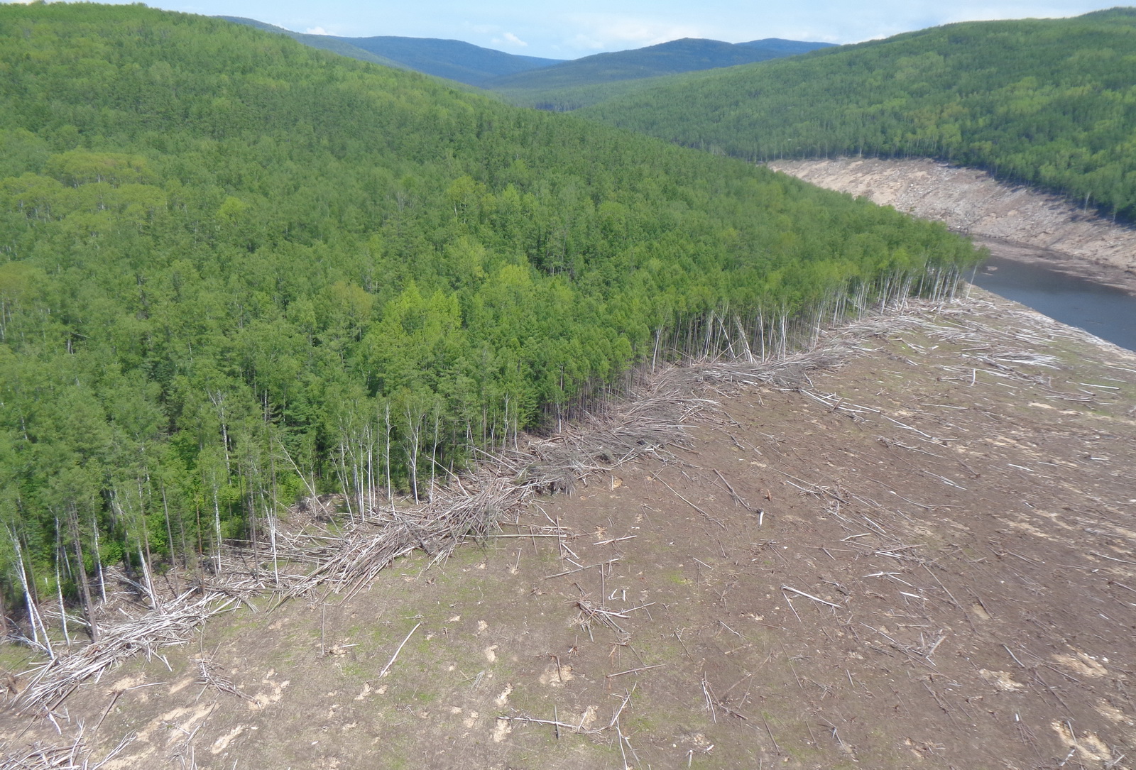
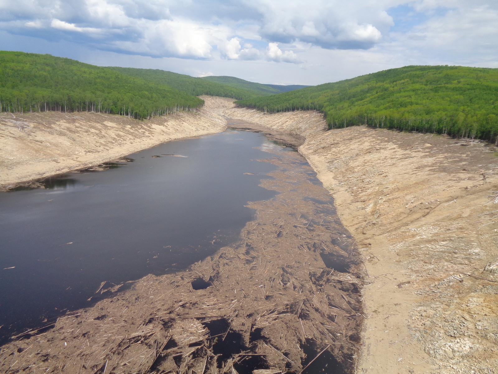
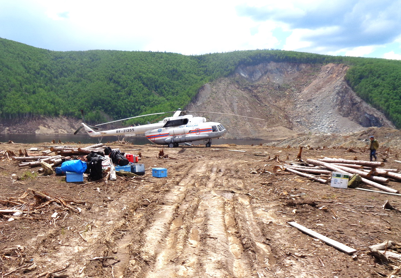
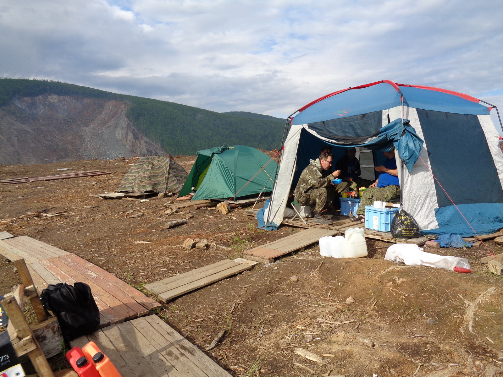
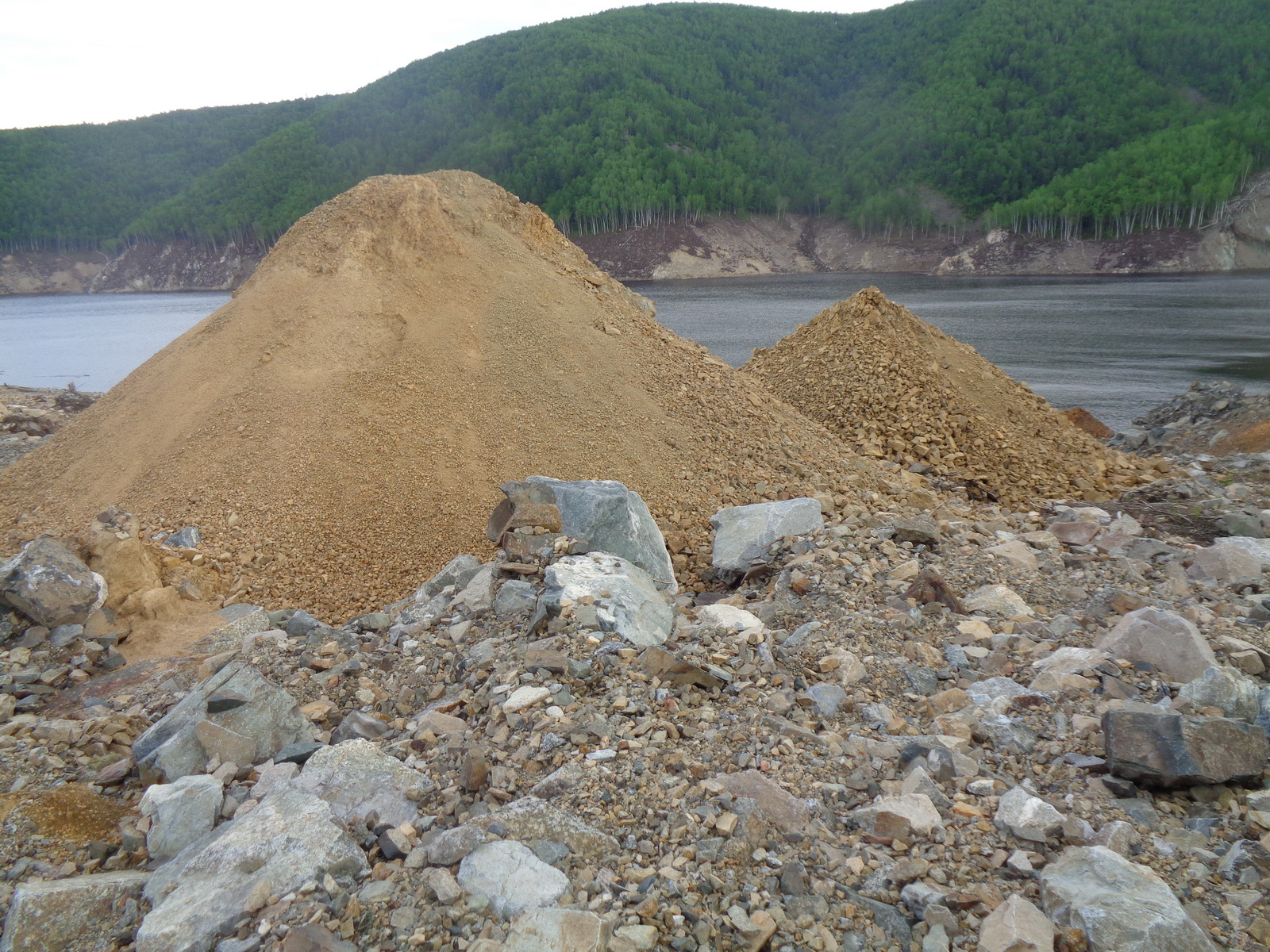
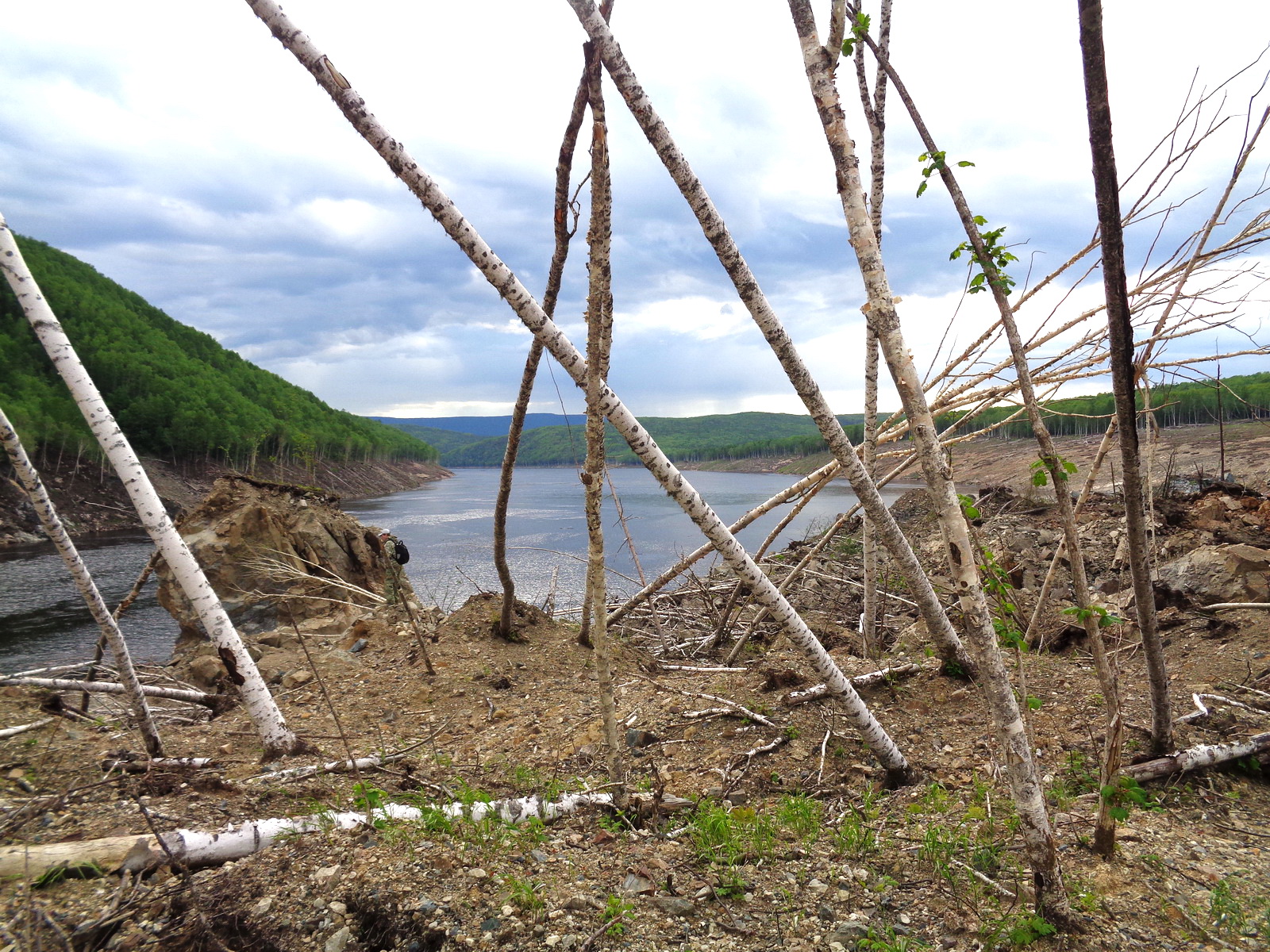
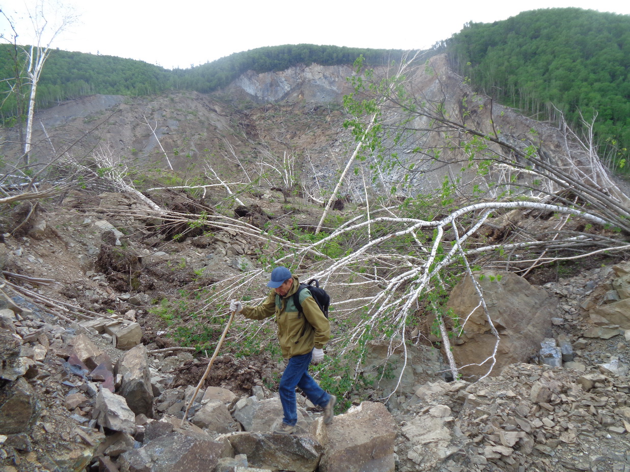
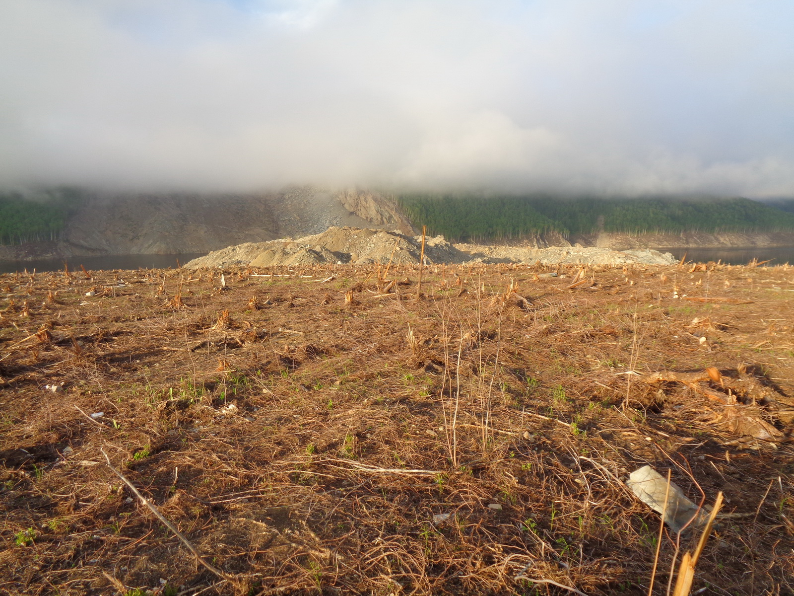
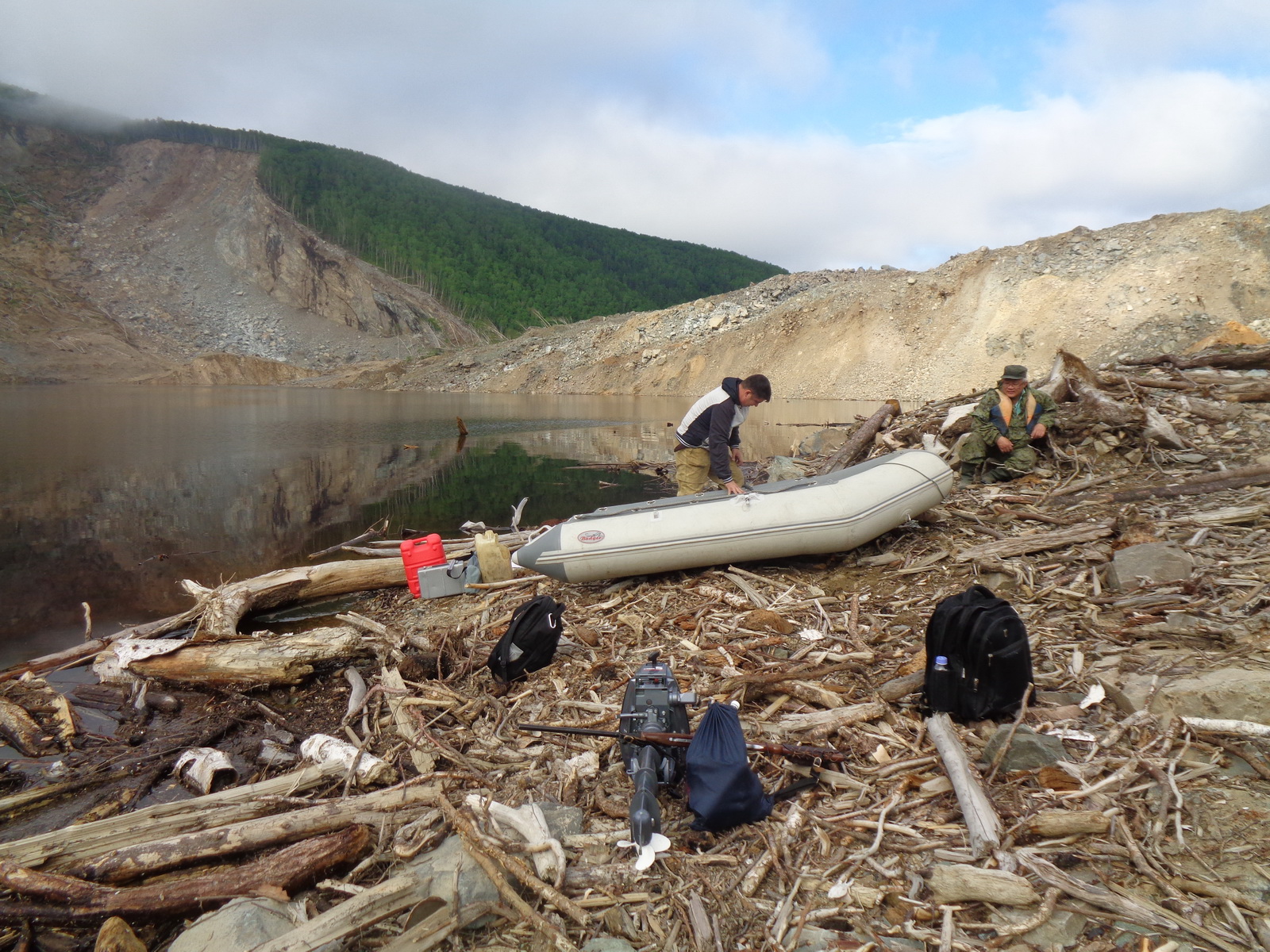
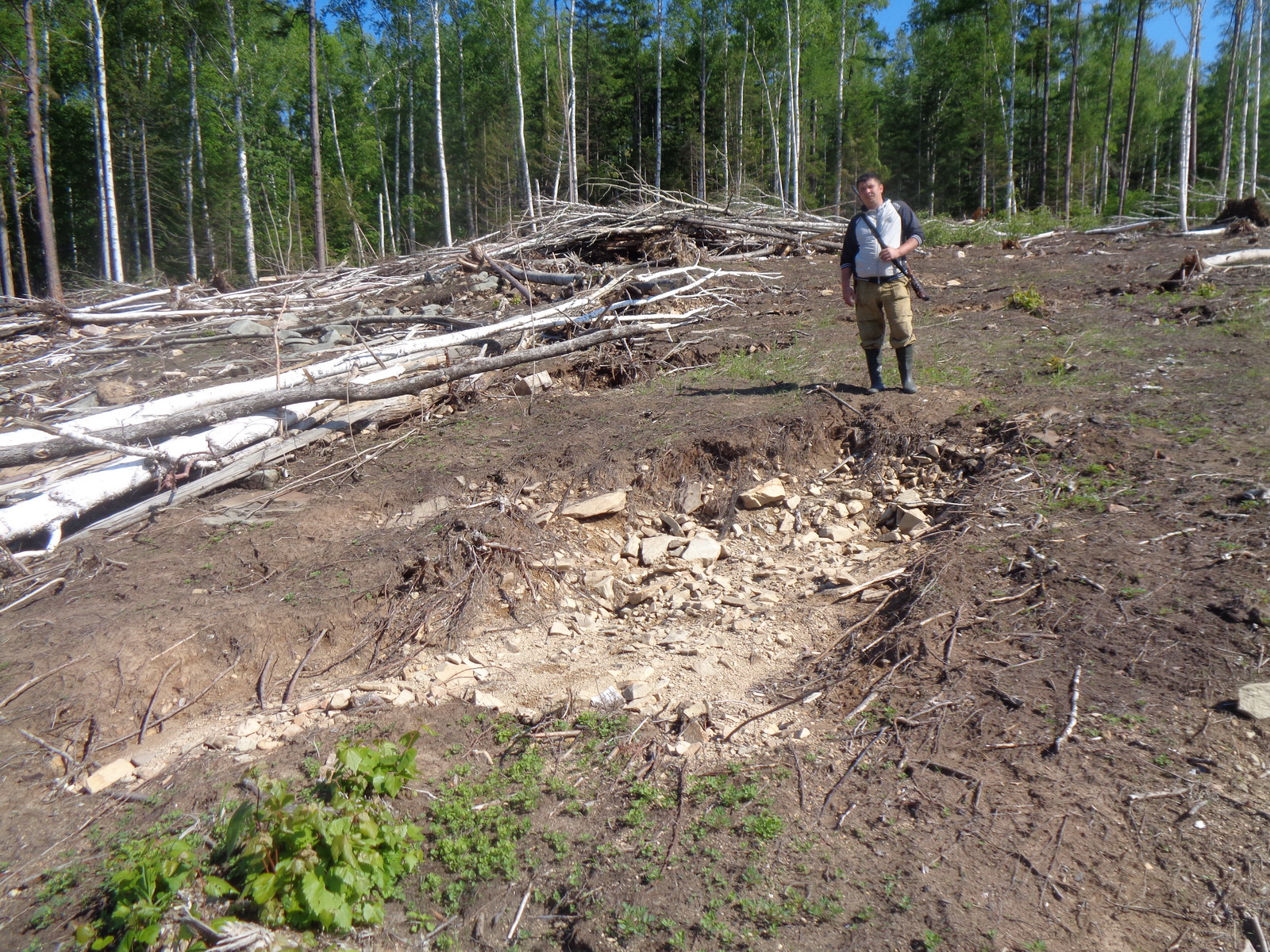
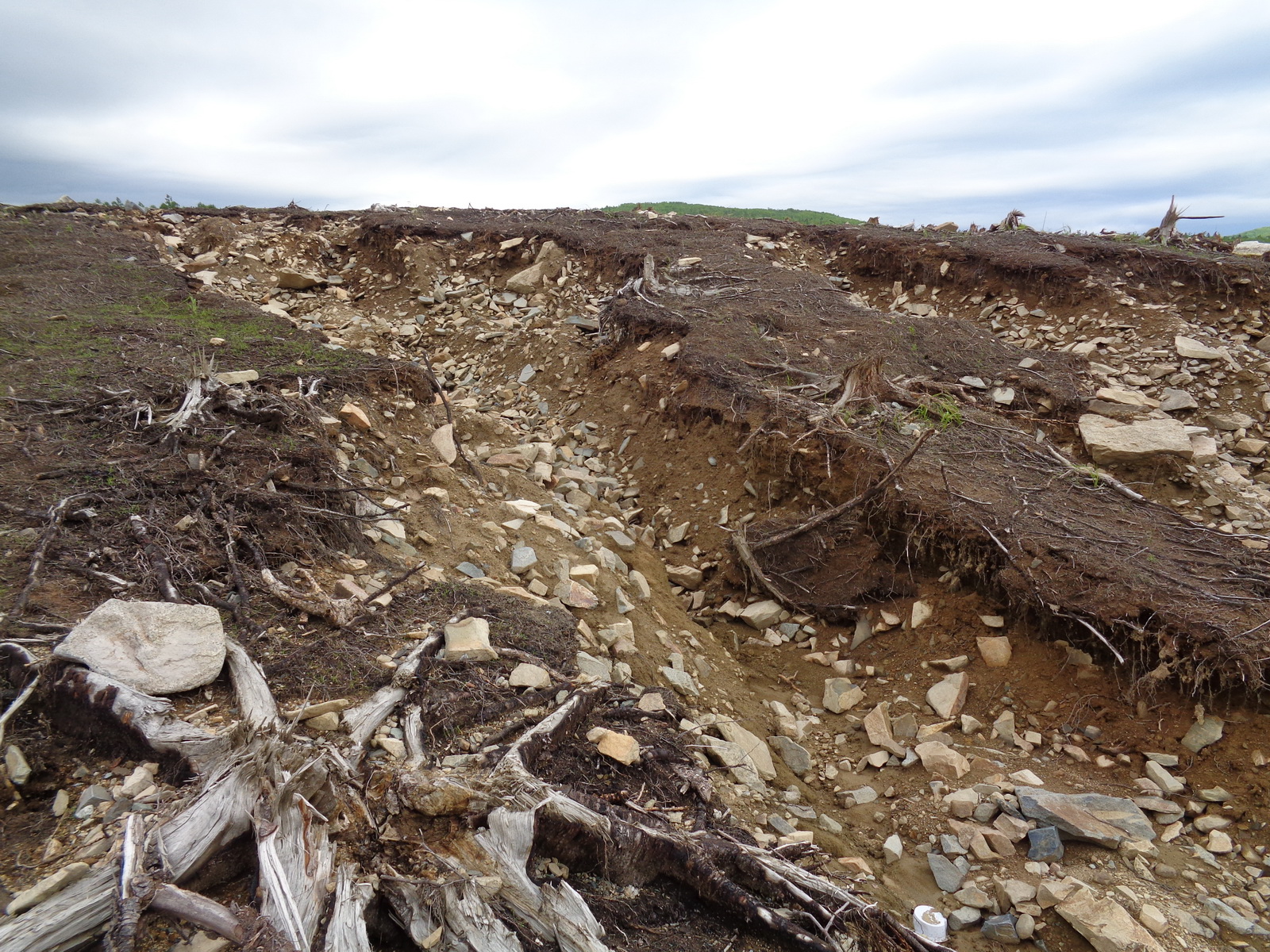
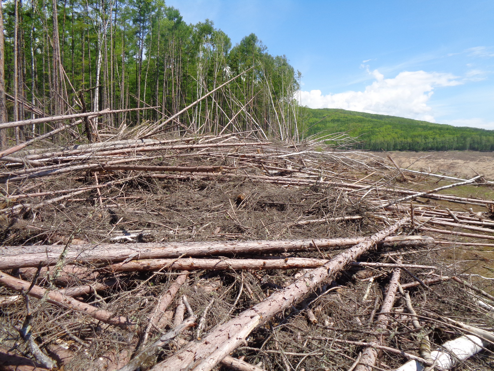
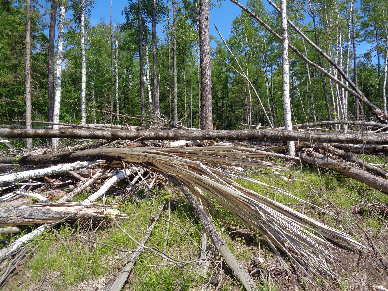
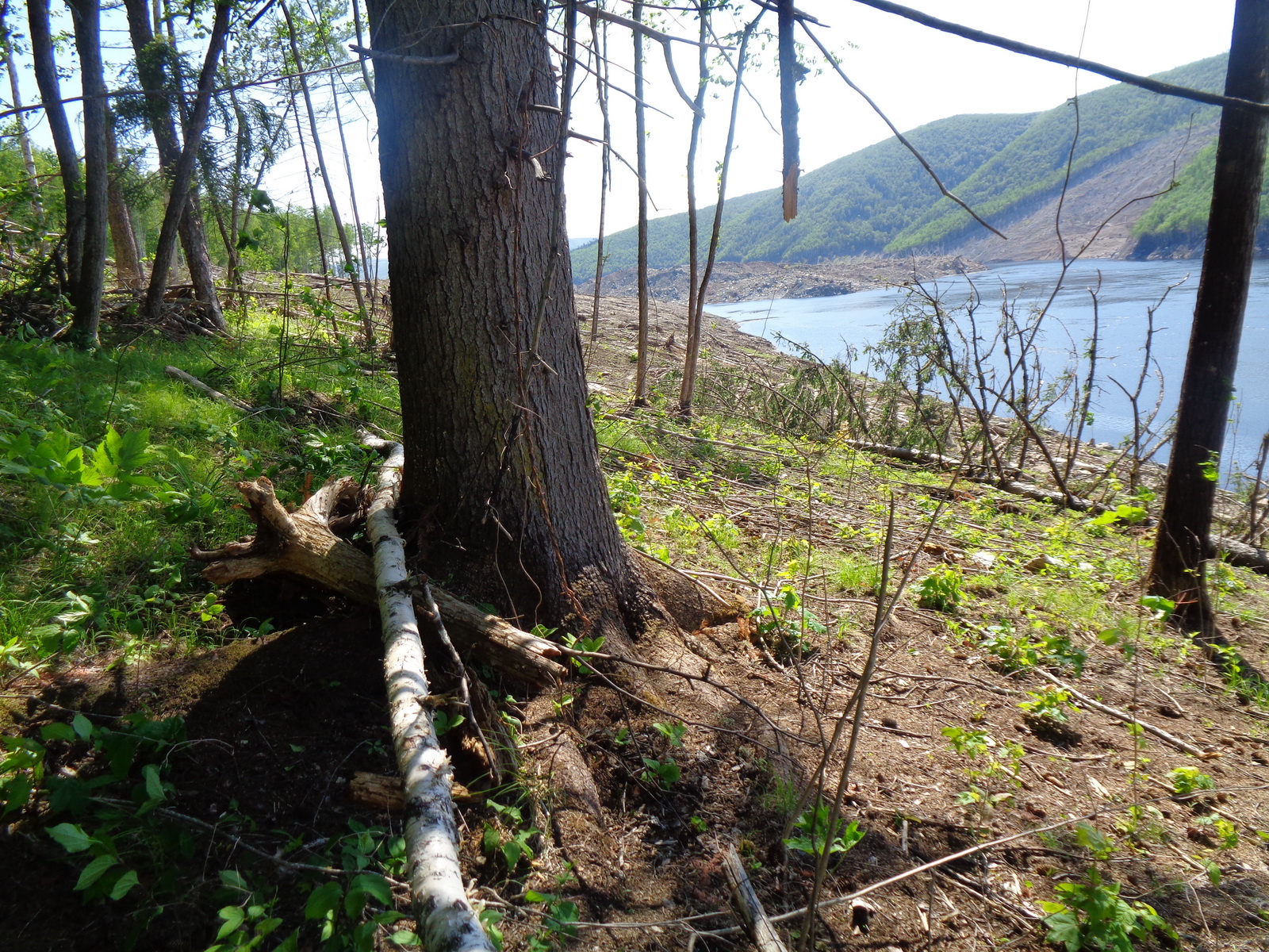
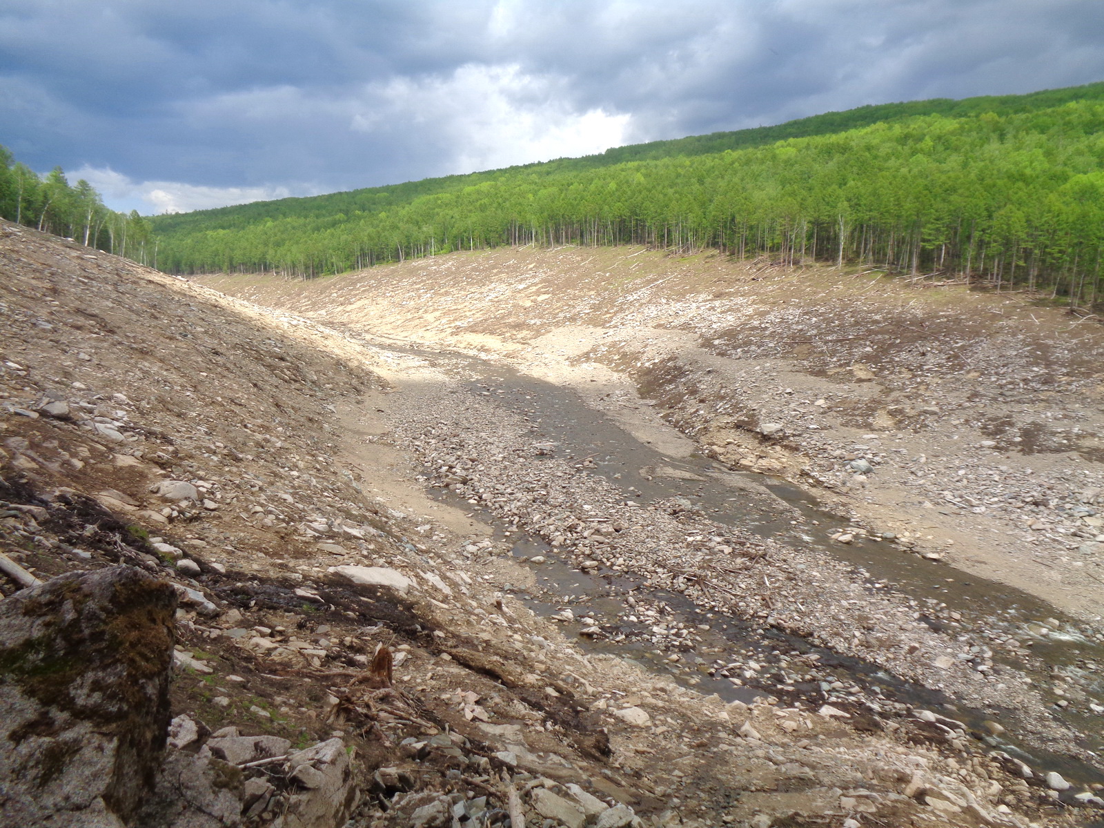
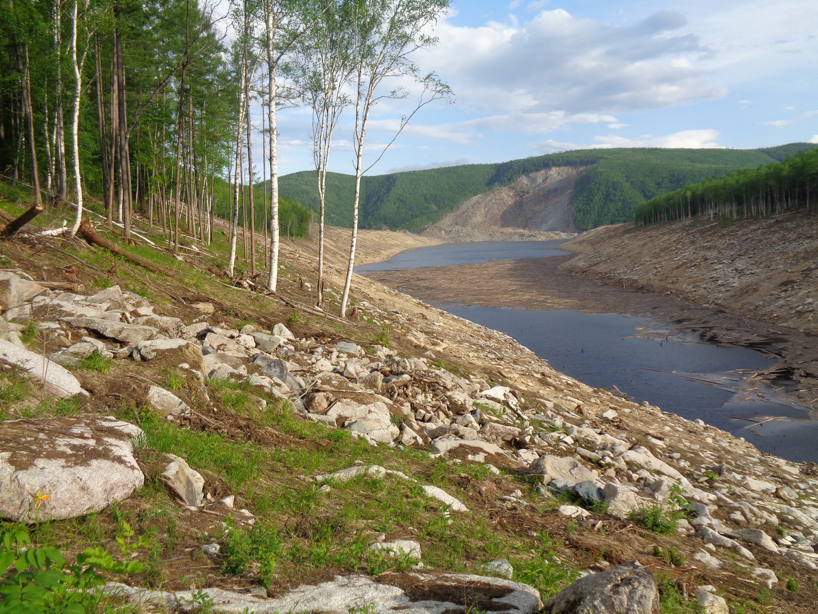
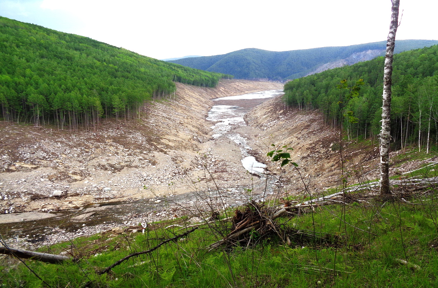
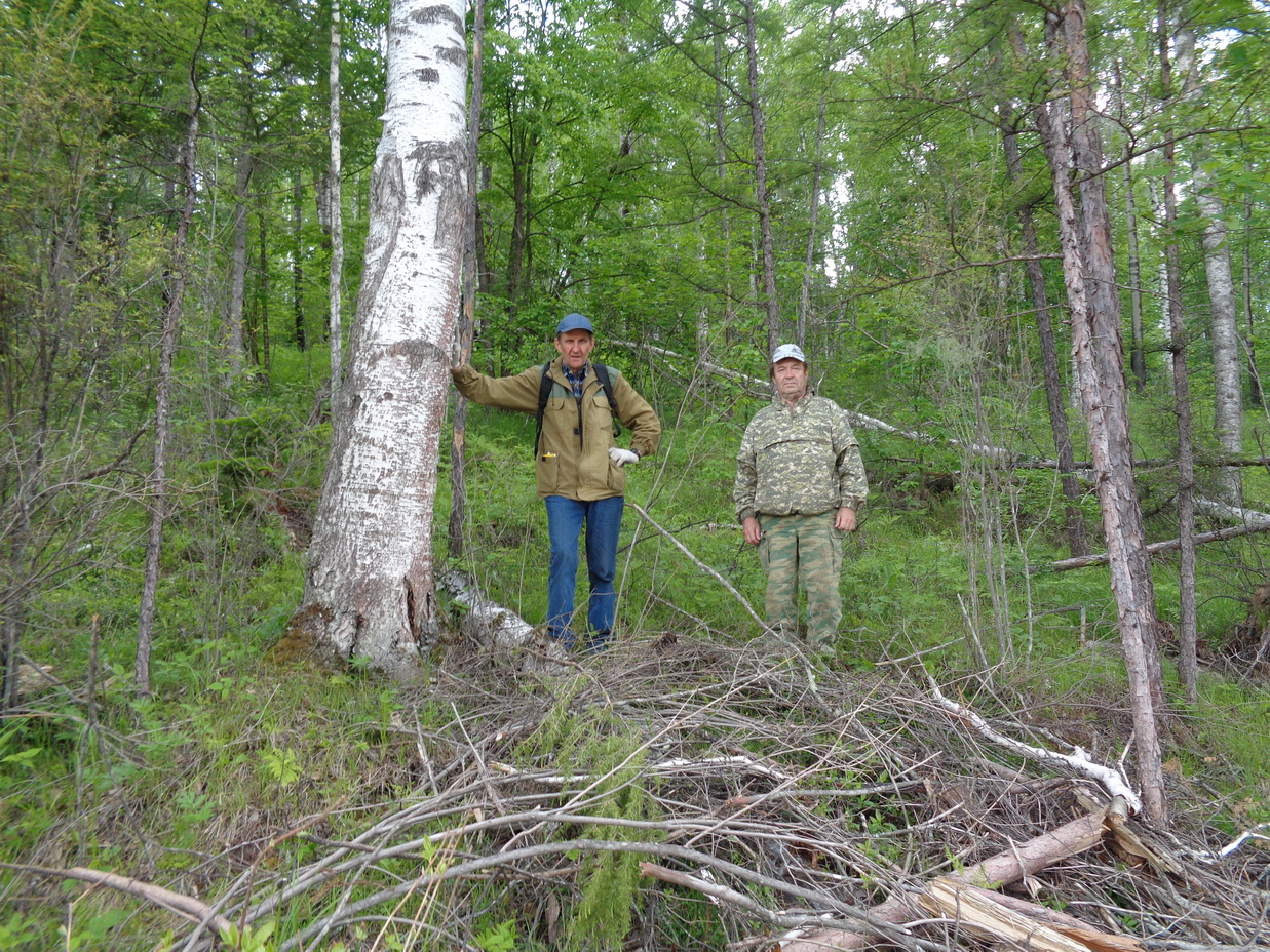
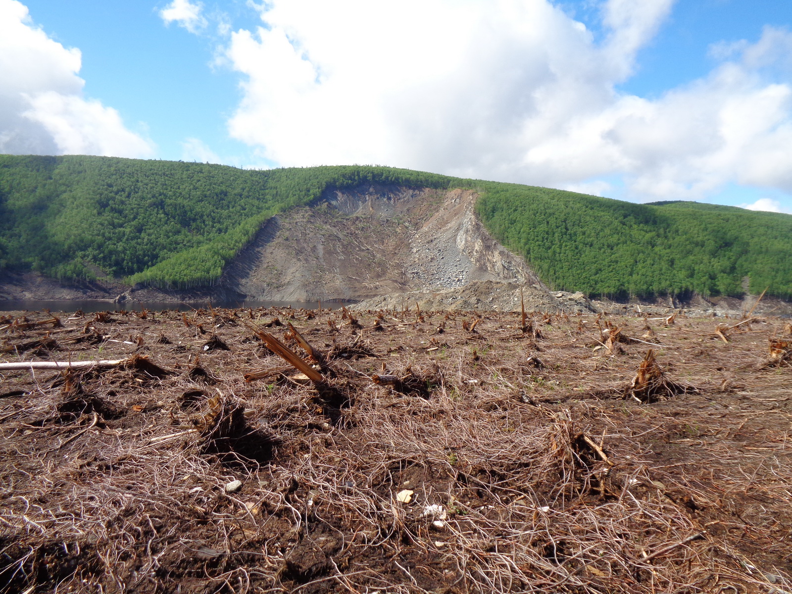
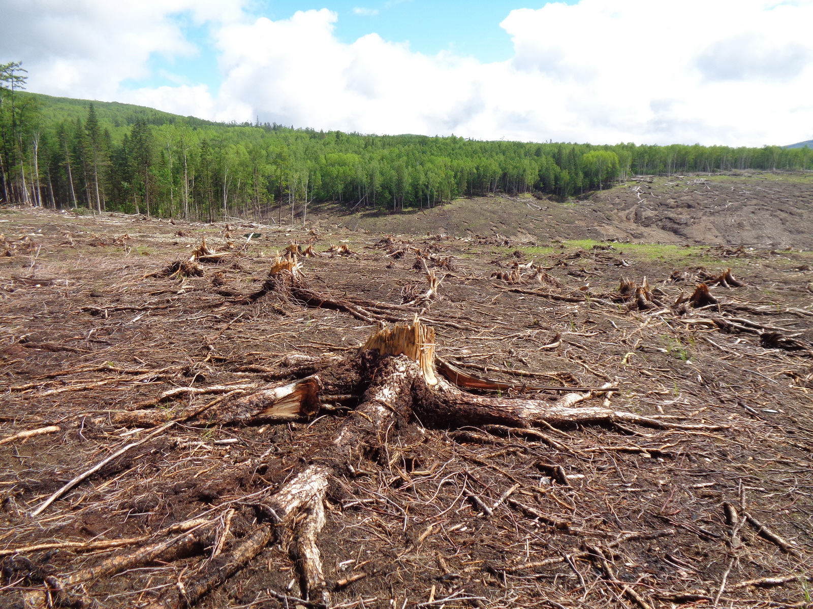
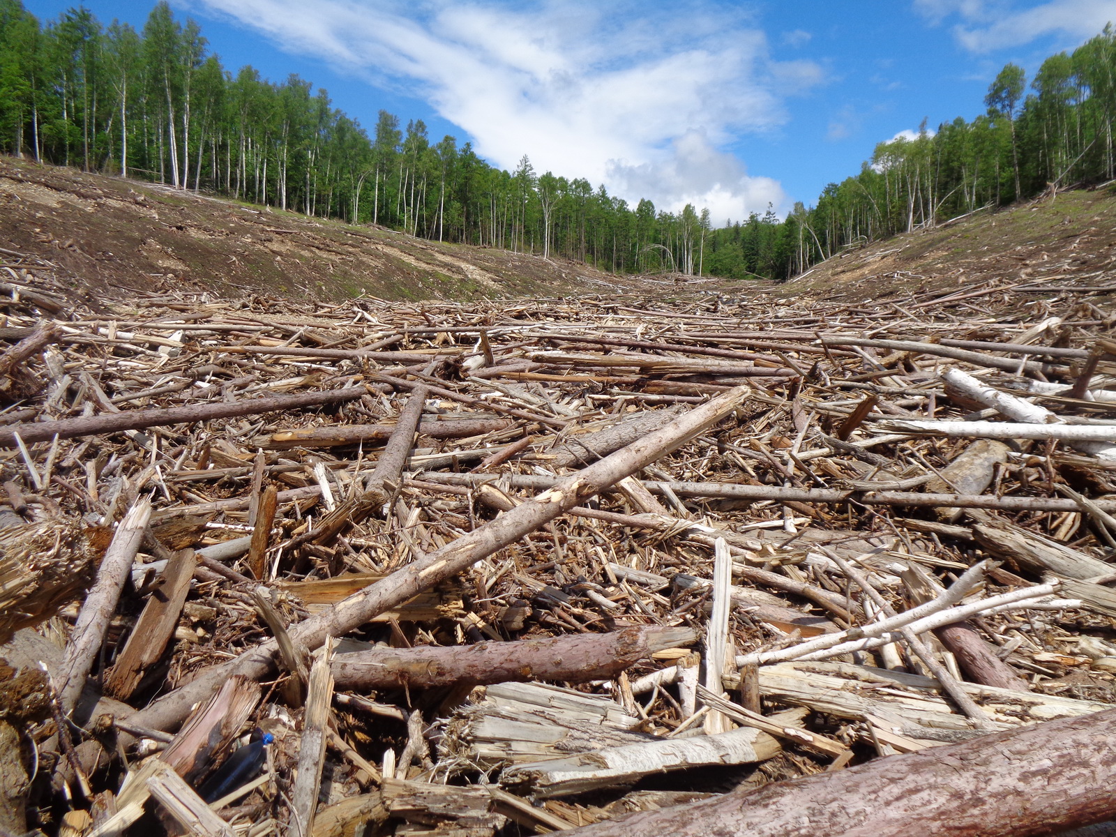
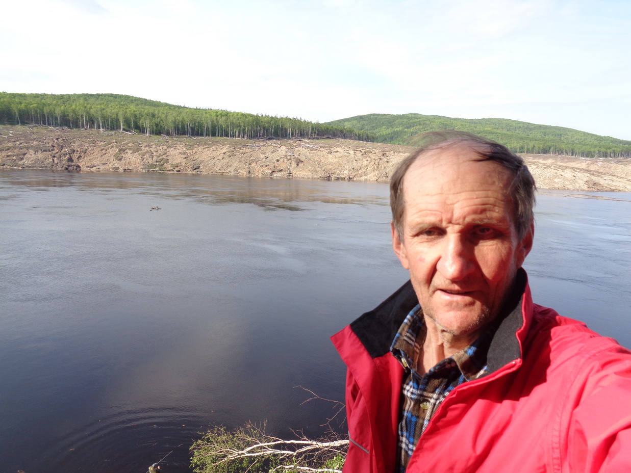
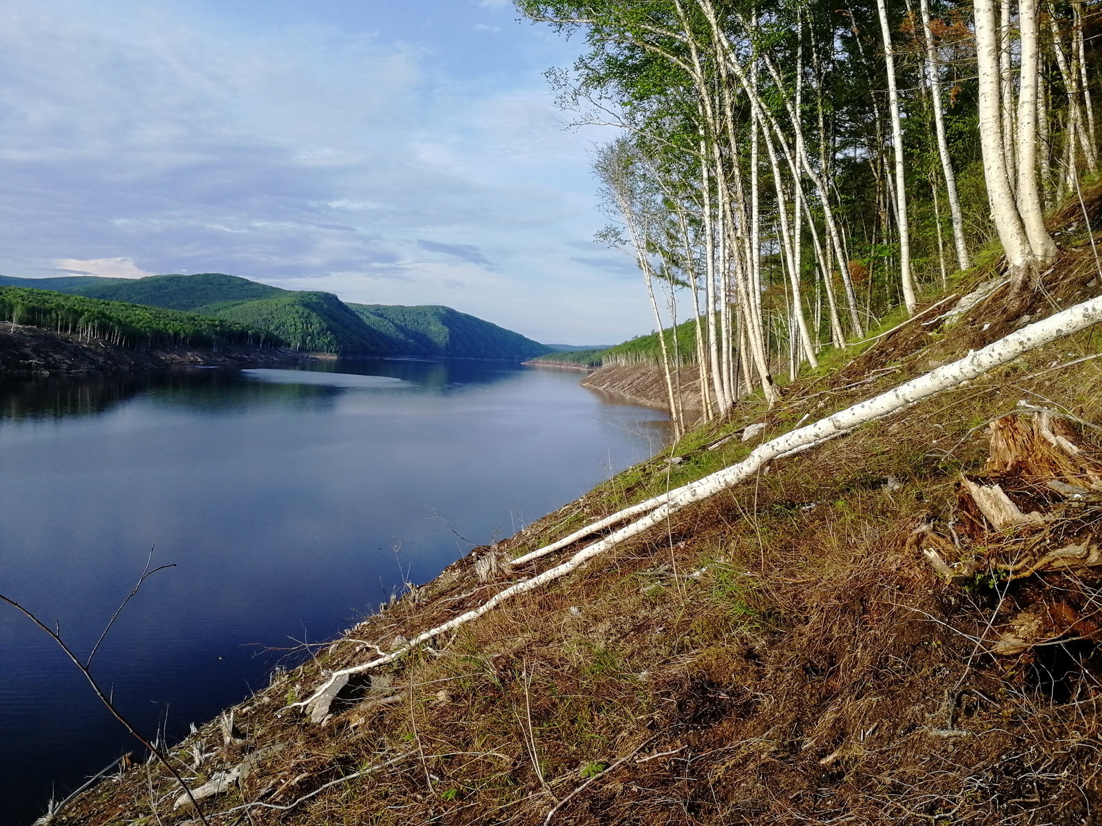
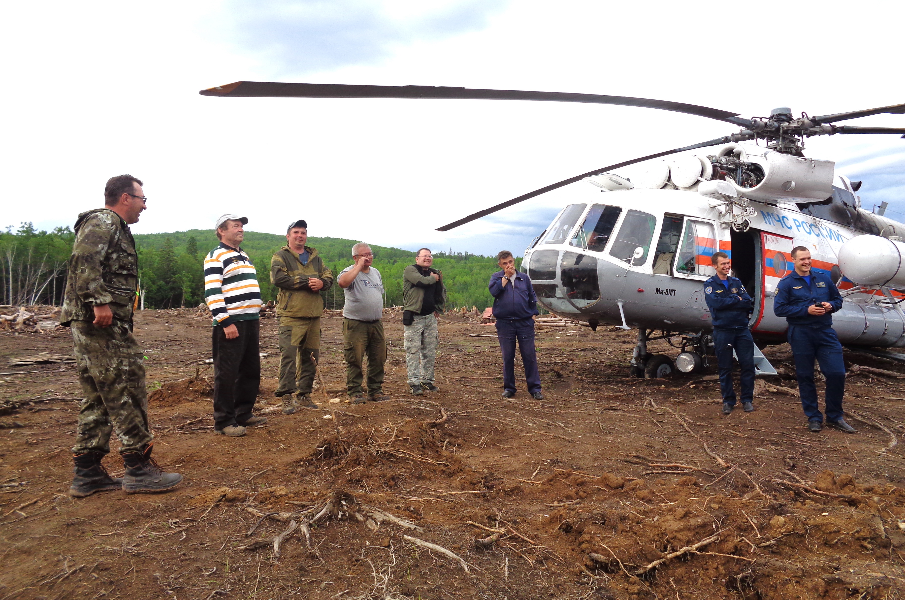
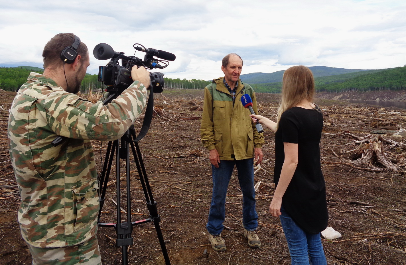
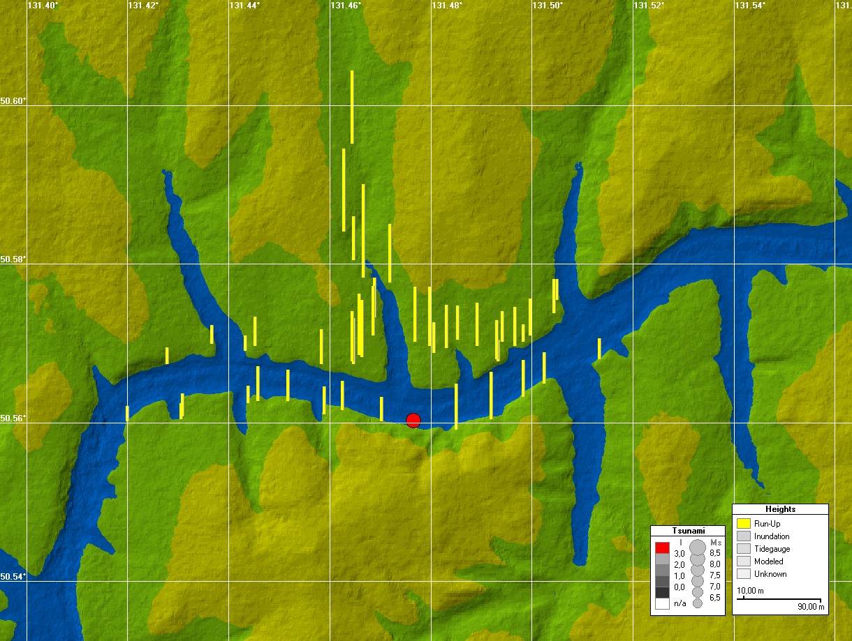
On December 11, 2018, at 14:48 local time on the left (southern) slope in the middle part of the Bureya water reservoir a large-scale natural disaster occurred - a massive (up to 25 million cubic meters) landslide blocked the river bed that prevented the replenishment of the Bureya reservoir from the large part (about 2/3) of its catchment area, which caused a federal-level emergency situation in the Far-East region of Russia. In the 70-m deep water reservoir, the landslide has generated a destructive tsunami-like wave whose impact on the banks was emphasized by a thick (up to 20cm) ice cover. Below are the photos from the field survey of the landslide and resulted tsunami, conducted in the affected area on June 17 to 21, 2019 with the help of the Khabarovsk Directorate of the Ministry of Emergency Situations of Russia. The experts in geomorphology, hydrology and tsunami from the IVEP FED RAS, ICMMG SD RAS and the Far East Regional Headquarter of Roskomgidromet are participated in this survey.
Photo report
 |
 |
 |
| 181225-01 |
181225-02 |
181225-03 |
 |
 |
 |
| 190617-01 |
190617-02 |
190617-03 |
 |
 |
 |
| 190617-04 |
190617-05 |
190617-06 |
 |
 |
 |
| 190617-07 |
190617-08 |
190617-09 |
 |
 |
 |
| 190617-10 |
190618-01 |
190618-02 |
 |
 |
 |
| 190618-03 |
190618-04 |
190618-05 |
 |
 |
 |
| 190618-06 |
190618-07 |
190618-08 |
 |
 |
 |
| 190618-09 |
190618-10 |
190618-11 |
 |
 |
 |
| 190619-01 |
190619-02 |
190619-03 |
 |
 |
 |
| 190620-01 |
190620-02 |
190621-01 |
 |
 |
 |
| 190621-02 |
20181211_wh_map |
1-m DEM |
Credit: V.Gusiakov, 2019, Novosibirsk Tsunami Laboratory
The full scale images of the above photos are available upon request.
|