|
|
Historical Tsunami Database (HTDB) Project
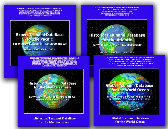
A comprehensive Historical Tsunami Database (HTDB) for the Pacific
region has been compiled as part of the joint IUGG/TC and ICG/ITSU Project
"Basic Pacific Tsunami Catalog and Database". The project is directed to
improve the cataloging of historical tsunamis in the Pacific (within the area
between 65S to 65N and 80E to 50W) by organizing them in the form of the
parametric tsunami catalog and the database. The database consists of three
main parts: the catalog of tsunamigenic events with their basic source parameters,
the catalog of the observed run-up heights and a Pacific-wide catalog of historical
earthquakes (nearly 230,000 events) from pre-historic times till present. The
current version of the database (5.11 of December 31, 2004) covers the period
from 47 B.C. to present time and contains 1428 entries in the tsunamigenic
event catalog and almost 7500 run-up heights provided with the exact
geographical coordinates of the observational sites. The tsunami and earthquake
catalogs, collected within the HTDB Project, are embedded inside a specially
developed GIS-type graphic shell (WinHTDB) for easy data retrieval,
visualization and processing. The WinHTDB shell operates on Windows PC
platforms with no additional co-located software required. The full version of
the database, including the textual descriptions of tsunami manifestation (for
about 240 events) and some additional reference information related to the
tsunami problem, is distributed on the CD-ROM.
Using the same data format and supporting graphic shell, similar databases
have been developed for the Atlantic and the Mediterranean regions. In 2003, the
ITIC (Honolulu), the WDC/NOAA (Boulder) and the NTL/ICMMG (Novosibirsk) have
developed a plan to compile a unified and comprehensive Global Tsunami
Database (GTDB) by merging two existing tsunami databases maintained
separately by the WDC/NGDC and the NTL/ICMMG. The official copy of the
database will be housed and maintained at the WDC/NGDC in the Oracle RDBMS
from where the data can be accessed via Web-based HTML forms and ArcIMS
interactive maps as well as exported in different formats specified by the
ITIC for the use of the tsunami warning centers and other potential users.
The offline, standalone application (WinITDB graphic shell) will continue to
be supported and updated by adding a new software for data visualization and
tsunami modeling.
|
