|
|
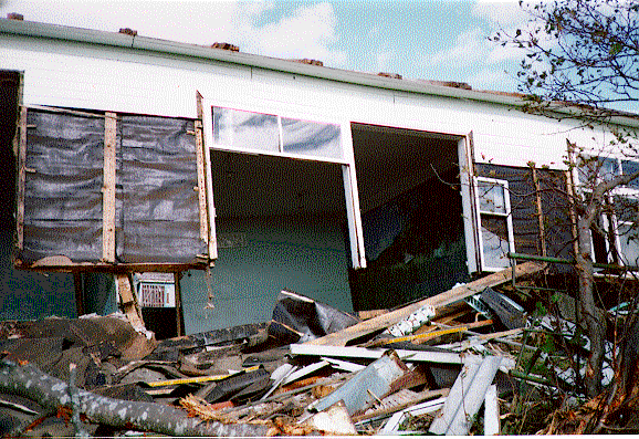
Damage due to the October 4, 1994 Shikotan earthquake and tsunami.
On Shikotan Island, located closest to the earthquake epicenter, ground shaking was extremely intense: the intensity was
reported to be between 9 and 10 on the abridged Modified Mercalli Intensity Scale (12 full shake scale). Two major fissures
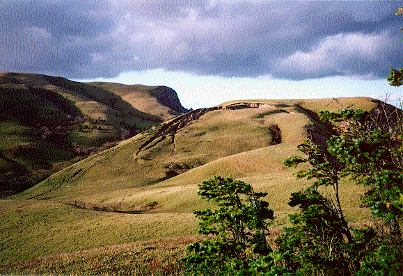
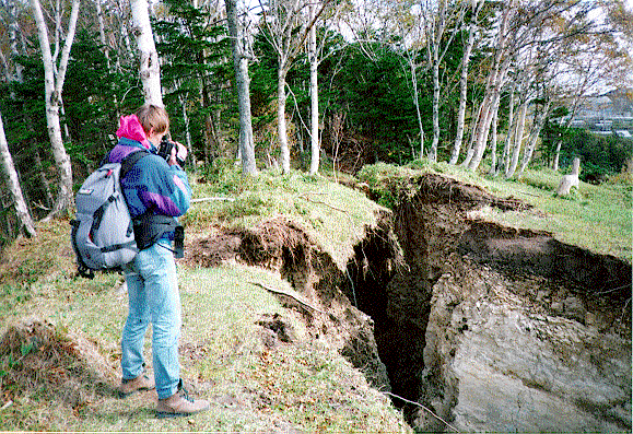
occurred on Shikotan near Malokurilskoe and Krabozavodskoe villages (see photos 1-9). Numerous ground cracks were
reported from other islands. Communications with the mainland were interrupted by the shock and were restored only by the
next morning. As a result, a tsunami warning from the regional TWS in Yuzhno-Sakhalinsk was not timely delivered to the
island. Heavy destructions were also reported on Kunashir and Iturup Islands. Telephone and electric power as well as water
supply were cut in many villages on the Southern Kuriles. Happily, there was no fire caused by this quake; at that time of year
heating systems were not in used and cutting electric supply helped prevent igniting fire from domestic locations.
On Hokkaido highways buckled and were scattered by deep fissures. Some bridges collapsed. The strong quake shook goods
of the shelves of shops in the coastal city of Kushiro, Japan, and the office workers had to hold their computers down to keep
them from bouncing off their desks. NHK public television said that the quake blacked out more than 10,000 homes in
Hokkaido and paralyzed rail traffic in Aomori prefecture on the northern tip of Honshu. In Kushiro, telephones and electrical
power were cut in some areas and road and rail traffic was halted after the quake.
 |
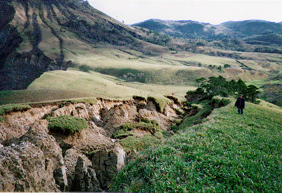 |
| Landslide near Malokurilskoe. | Major fissure near Malokurilskoe |
 |
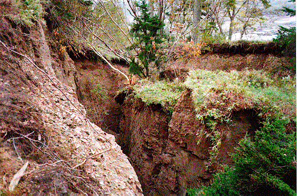 |
| Huge ground crack near Krabosavodskoe. | Major fissure near Krabosavodskoe. |
 |
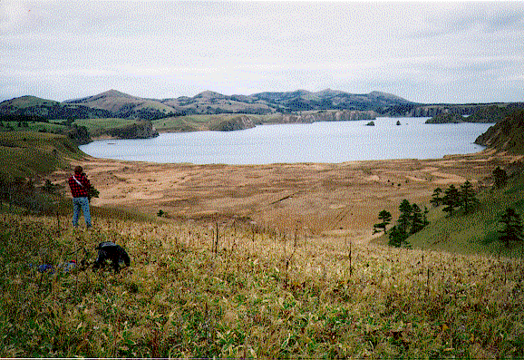 |
| Damaged school building. | Dimitrova Bay. |
 |
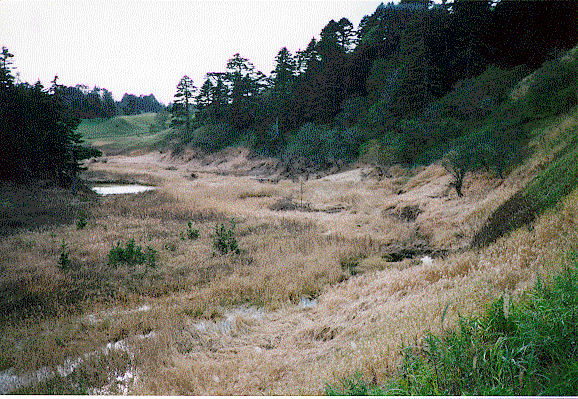 |
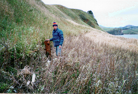
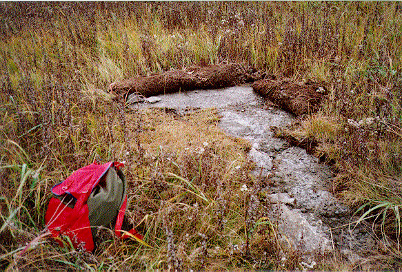
| Tsunami run-up limit. | Tsunami traces. |
 |
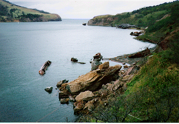 |
| Soil erosion. | Fallen rocks. |
|

