|
|
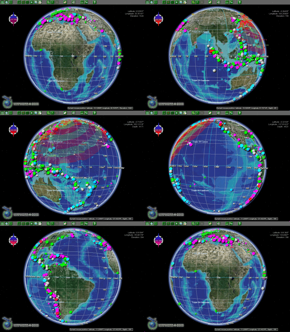
Integrated Tsunami Research and Information System.

The assigned task was the short-term (~ 1 year) development of full 3D shell with similar features to deal with the satellite images and digital elevation and bathymetry models. The project design team consisted of programmers of tsunami laboratory, the ICMMG, that took part in the ITRIS (Integrated Tsunami Research and Information System) development .
Basic functions of IMP_World graphic shell
- The global-area coverage
- The full three-dimensionality and manipulation with 3D models of buildings
- The possibility for the Earth surface zooming at any point you need
- The digital cartographic base design with the use of satellite images, digital elevation and bathymetry models (DEM, DBM)
- The possibility for manipulation with the point, raster and vector data layers
- The availability of data analyzing and processing plug-ins
- The software for numerical modeling of geophysical processes and phenomena
read more>>
|

