Mozambique Dunes Field Trip
 |
 |
 |
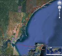
| MOZ routes |
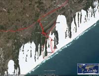
MAC routes |
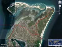
INH routes |
 |
 |
 |
| 110123-20 |
110123-21 |
110124-05 |
 |
 |
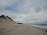 |
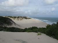
| 110124-14 |
110124-62 |
110124-35 |
 |
 |
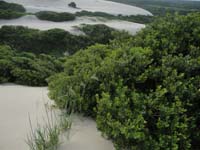 |
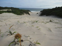
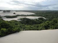
| 110124-53 |
110124-54 |
110124-58 |
 |
 |
 |
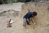
| 110125-01 |
110124-21 |
110124-25 |
 |
 |
 |
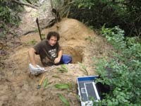
| 110126-30 |
110126-32 |
110127-05 |
 |
 |
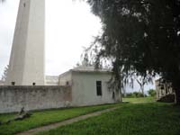 |
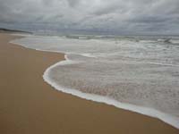
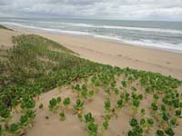
| 110127-06 |
110127-08 |
110227-14 |
 |
 |
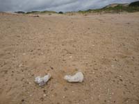 |
| 110126-54 |
110126-57 |
110126-61 |
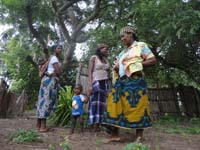 |
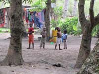 |
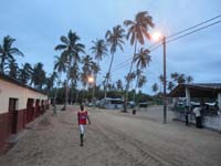 |
| 110126-37 |
110127-95 |
110126-77 |
 |
 |
 |
| 110127-96 |
110127-98 |
110128-05 |
 |
 |
 |
| 110126-03 |
110126-21 |
110126-26 |
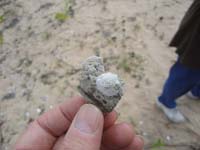
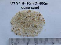
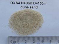
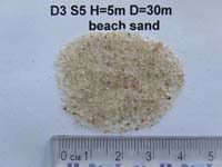
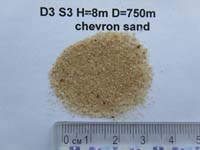
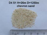
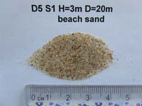
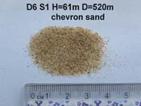
Close-up photos of some samples collected during the field trip.
For each sample, site codes along with elevation above sea level (H) and
distance to the coastline (D) are shown Position of sample sites on the
Google images can be seen in photos MAC routes.jpg and INH routes.jpg.
GPS coordinates of the sample sites can be found
here
 |
 |
 |
| D3 S1 |
D3 S4 |
D3 S5 |
 |
 |
 |
| D3 S3 |
D4 S1 |
D4 S3 |
 |
 |
 |
| D5 ING1 |
D5 S1 |
D6 S1 |
Credit: V.Gusiakov, 2011, Novosibirsk Tsunami Laboratory
The full scale images of the above photos are available upon request.
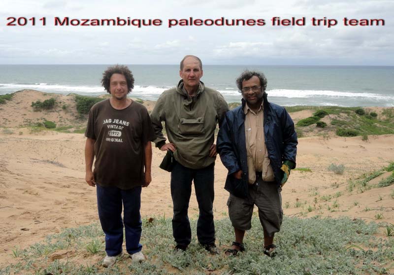
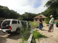
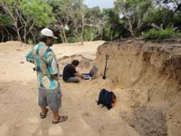
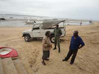
Members of the Mozambique Dunes Field Trip (from left to right) -
George Susino (University of Witwatersrand, Johannesburg), Viacheslav Gusiakov (Novosibirsk Tsunami Laboratory), Sharad Master (University of Witwatersrand, Johannesburg)

