|
|
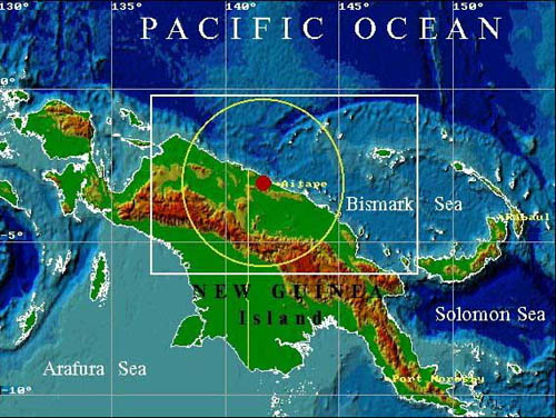
July 17, 1998 Papua New Guinea earthquake and tsunami
08:49:15 GMT Lat. 3.08S Long. 141.76E mb6.0 Ms7.0 Mw7.1 Mt7.5 I=3.2 Hmax=15.03m

Location map of the July 17, 1998 Aitape earthquake and tsunami. The red circle shows the position of the
earthquake epicenter. The white box outlines the source area of this event shown in 3D shaded relief map.
Yellow circle represents the approximate size of the felt area of this earthquake
|

